WHAT YOU GET WITH OUR ALL SURVEYS
To get your BS5837 report for planning simply request an instant online quote on this page, personalised for your project.
Once you’ve accepted the quote we will get you booked in. Once booked in, a tree surveyor will come to your site and collect the physical tree data we need to produce the report.
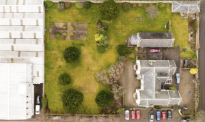
All of our surveyors are qualified drone pilots which means that on top of everything else we also provide aerial imagery to support your application.
This is becoming more and more vital to enable the planning committee to get a real feel for your site meaning that you can dramatically enhance the chances of a successful outcome at planning.
We are the only tree survey company in the UK to provide this completely FREE of charge.
Once the site visits are completed, the surveyor will produce your report and deliver the arboricultural implications
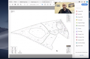
assessment, tree constraints plan and covering report electronically as a combined PDF.
This PDF will be professionally presented and will be of sufficient size to easily upload to your local authority planning portal. Imagery will be provided using a bespoke digital transfer system with a web link that can be shared with all project stakeholders.
If requested, the tree constraints plan will be delivered as an AutoCAD .dwg drawing for your architects to utilise.